Serving Fire Country
Ember Guard operates across two California regions and counting — the wildland-urban interface communities of the Inland Empire and Temecula Valley, and the Sierra Foothill corridor from Auburn to Pollock Pines, extreme fire hazard severity zones, deserving of professional protection.
Southern California
Our Southern California operations are based in Temecula and serve the full wildland-urban interface corridor from the Temecula Valley through North County and into the mountain communities. This region faces extreme fire risk driven by Santa Ana wind events, dry summers, and decades of fuel accumulation in hillside and backcountry areas.
Don't see your community? Ember Guard is actively expanding. Reach out and we'll tell you when we're in your area.

Temecula Valley
Temecula
Murrieta
Wildomar
French Valley
Menifee
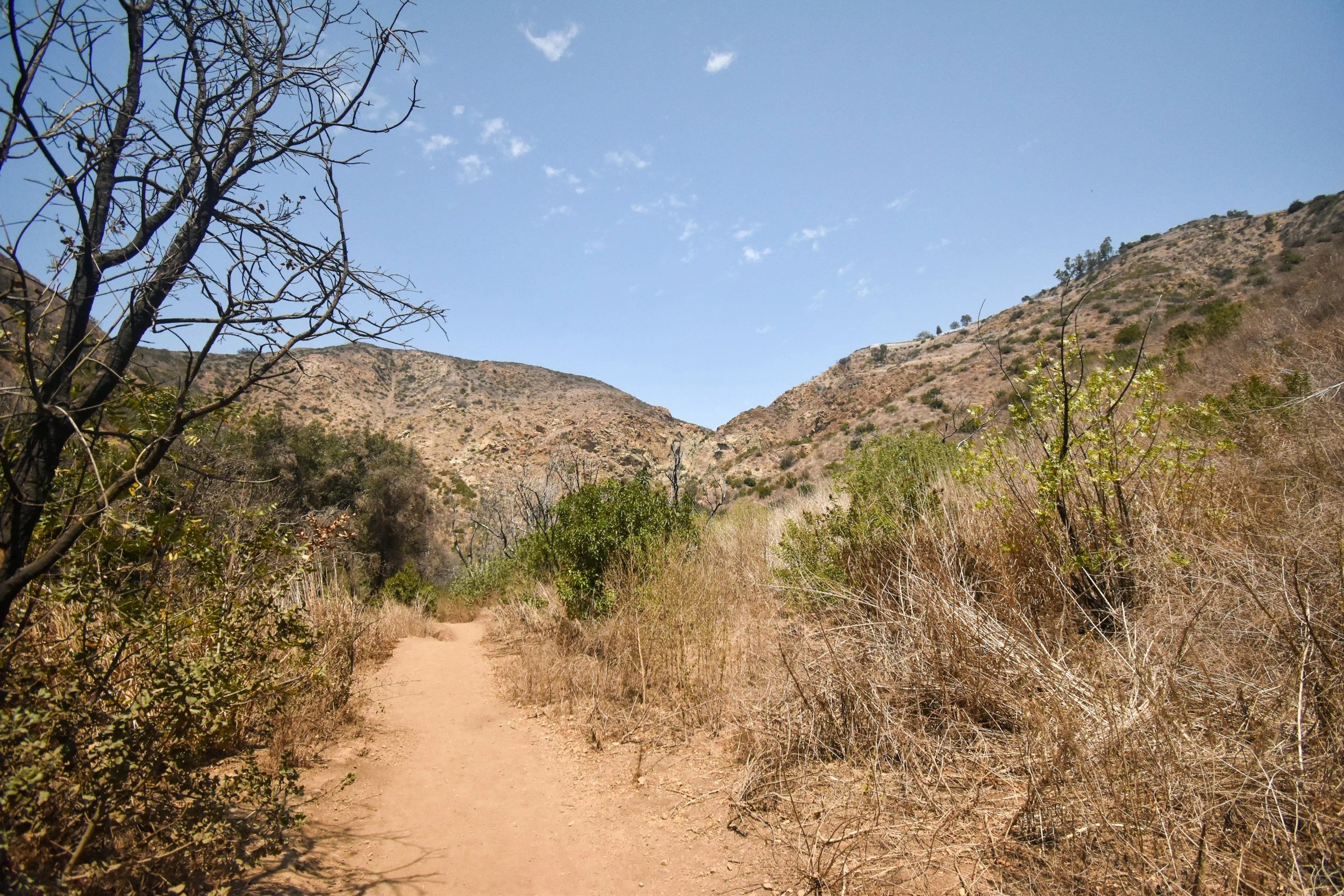
North County
Aguanga
Anza
and surrounding areas
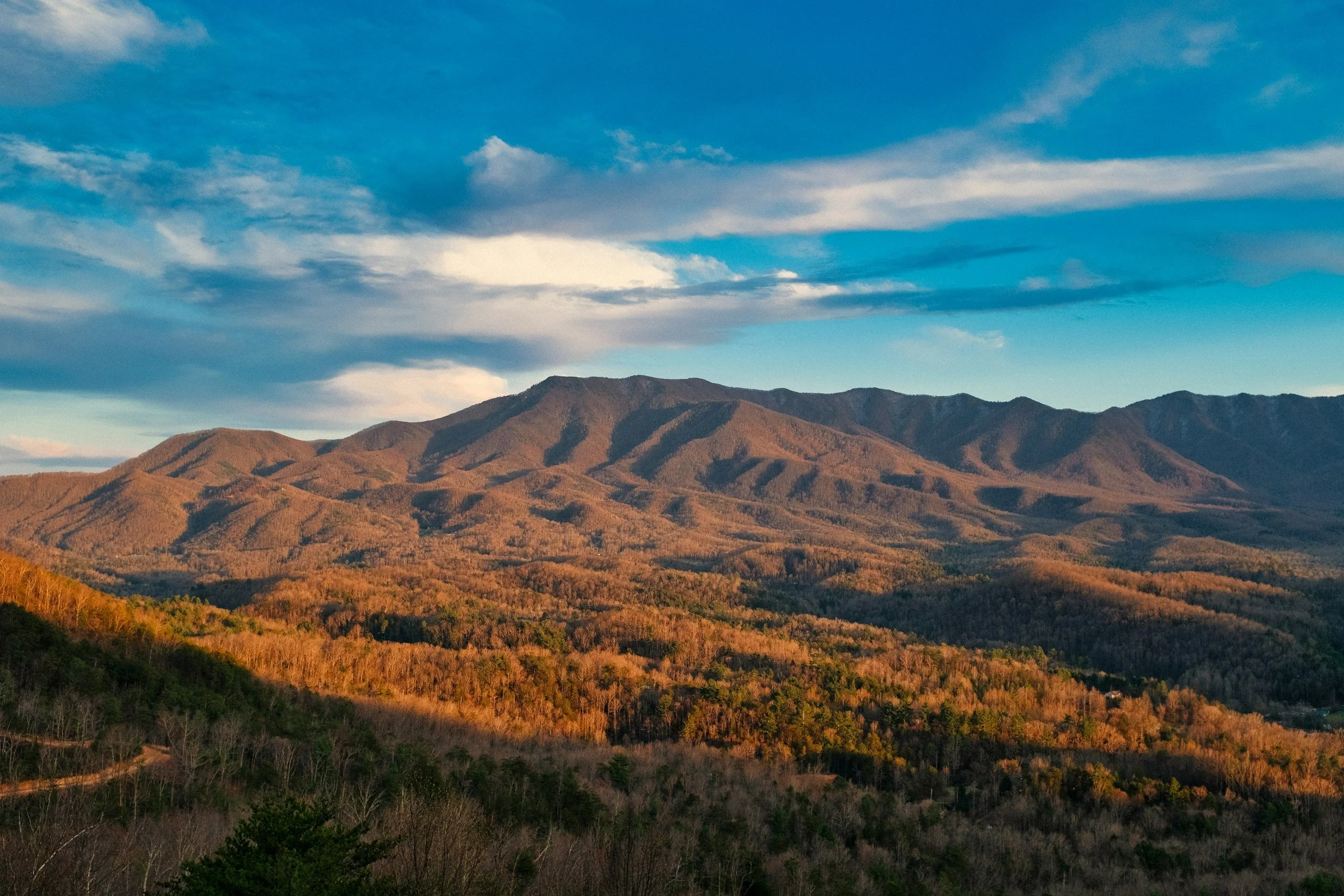
Eastern
Foothills
Fallbrook
Bonsall
Pala
De Luz
Valley Center
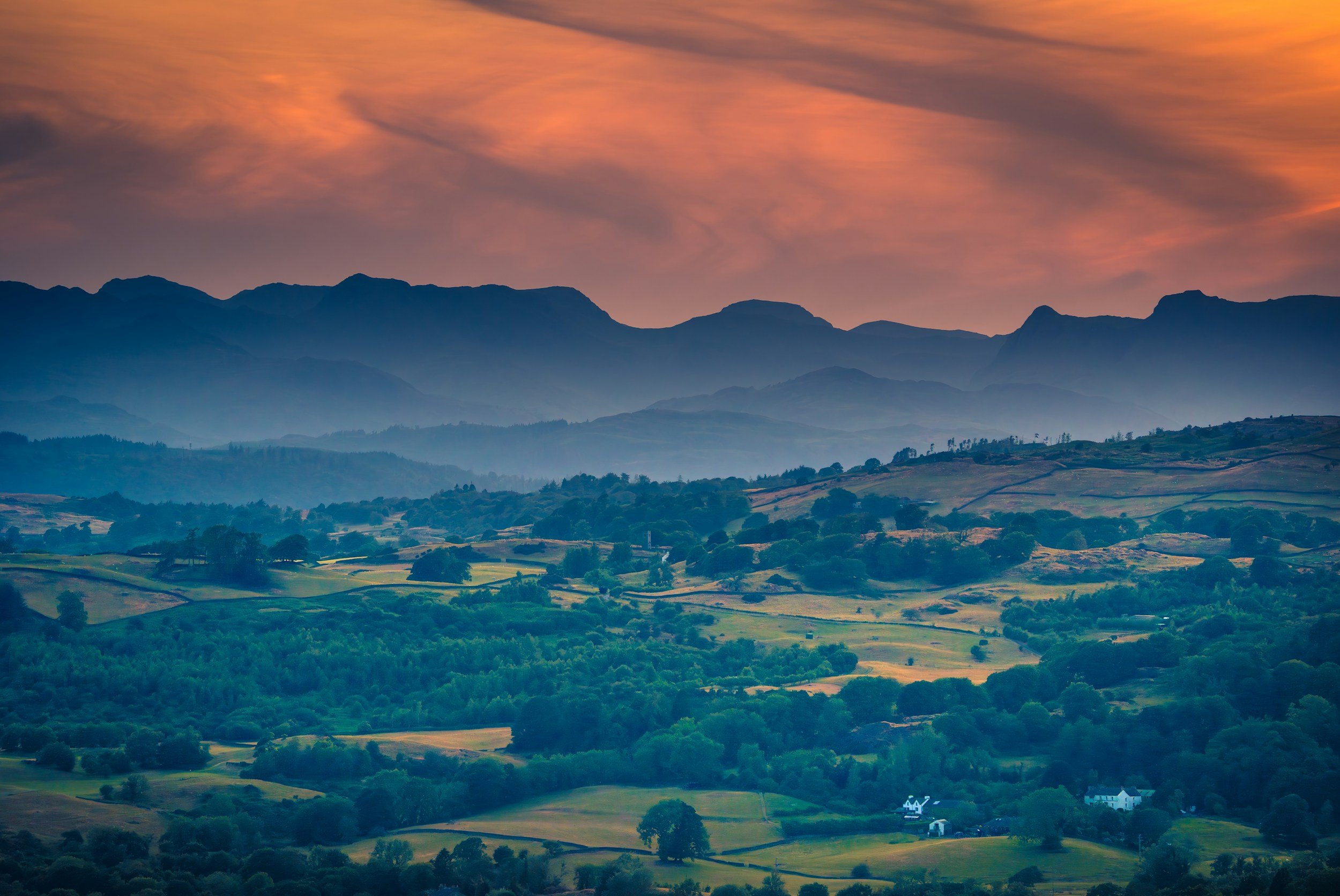
Mountain Communities
Pauma Valley
Ramona
Santa Ysabel
Julian
Idyllwild
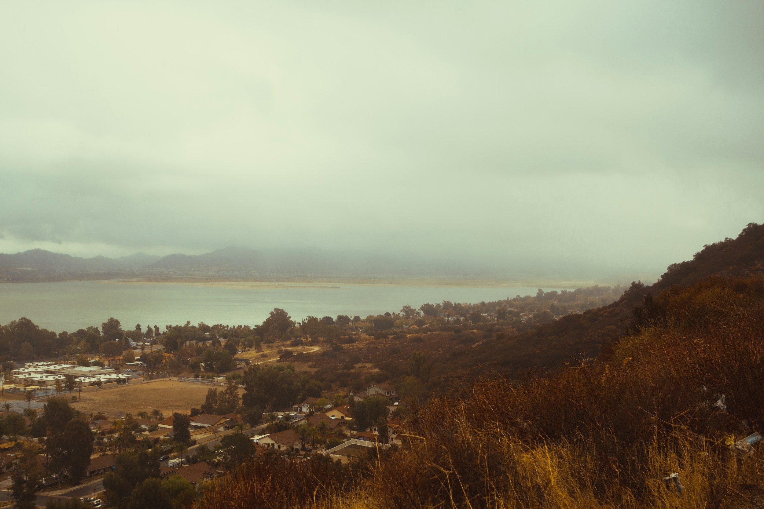
Lake
Elsinore
Lake Elsinore and foothills
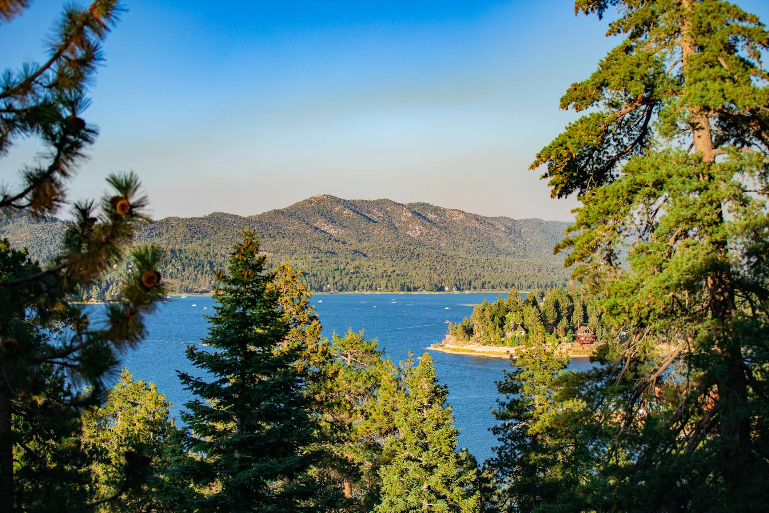
Coming
Soon
Big Bear
Lake Arrowhead
Surrounding areas
Northern California
Our Northern California operations serve the Sierra Foothill belt — one of the most fire-prone regions in the United States. This corridor sits in an extreme fire hazard severity zone throughout, with a fire history that includes some of the most destructive wildfires in California history. Our founder lived in this region and knows these communities personally.
Don't see your community? Ember Guard is actively expanding. Reach out and we'll tell you when we're in your area.
El Dorado Hills / Folsom
El Dorado Hills
Folsom
Shingle Springs
Diamond Springs
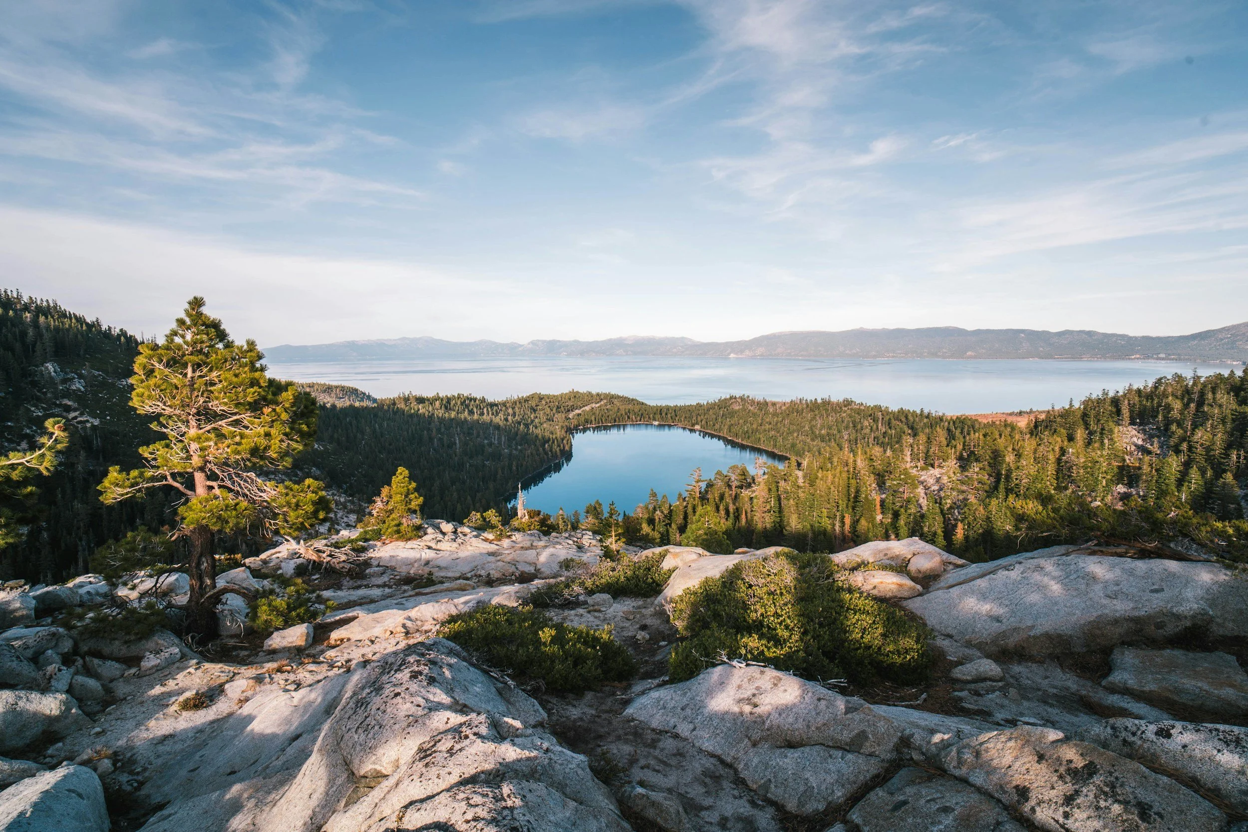
Coming Soon
Lake Tahoe
Butte County
Central California
Eureka, Fort Bragg, surrounding areas
Full CA coverage
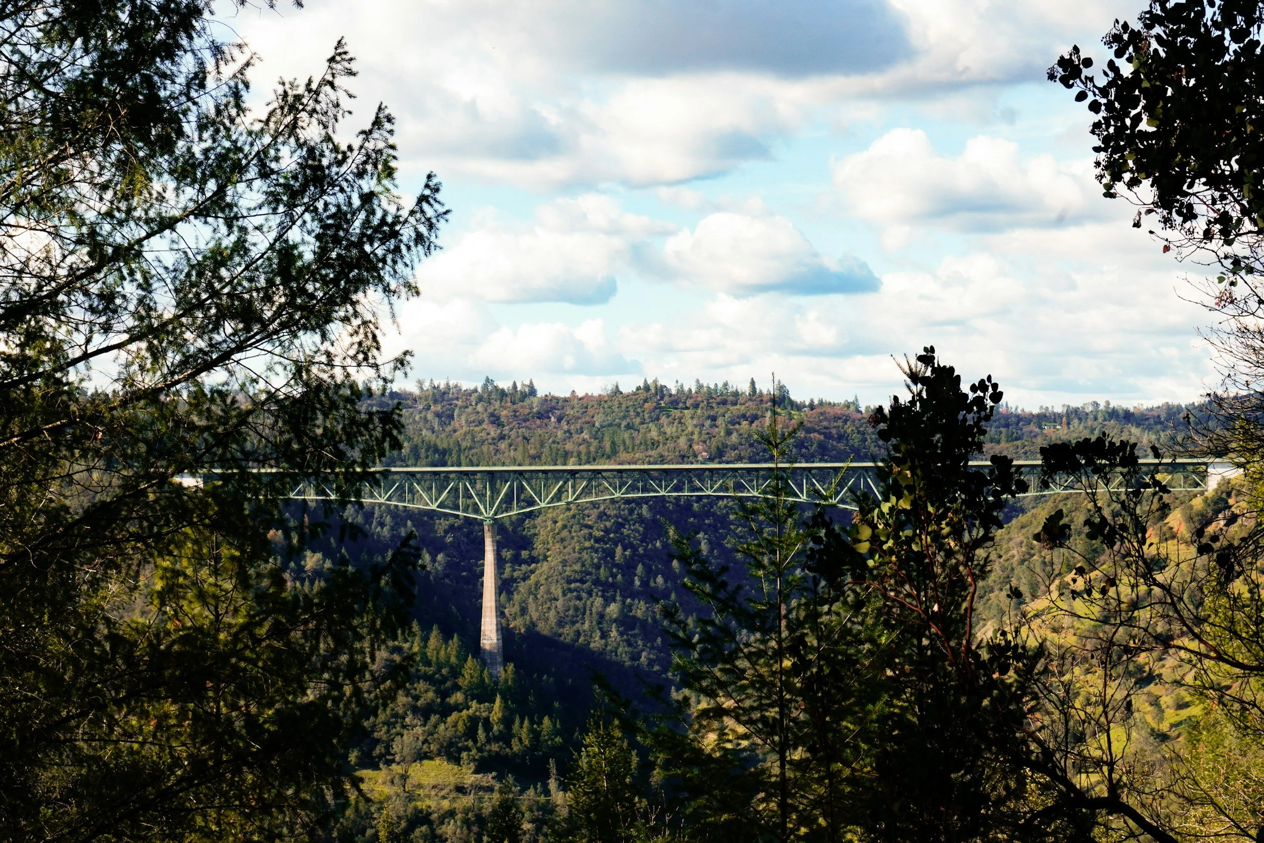
Auburn / Foresthill
Auburn
Foresthill
Garden Valley
Georgetown
Coloma
Cool

Placerville
Placerville
Apple Hill
Pollock Pines
Ready to protect your property?
Free estimate. Straight answer. No pressure.